CERTIFICATIONS
Onsite Wastewater Inspector Certificate - National Association of Wastewater Technicians
Onsite Wastewater Soils Evaluation Certificate - National Association of Wastewater Technicians
Wetland Delineator Certificate - Army Corps of Engineers
PORTFOLIO (info. below)
Land Management - Erosion & Stormwater Control
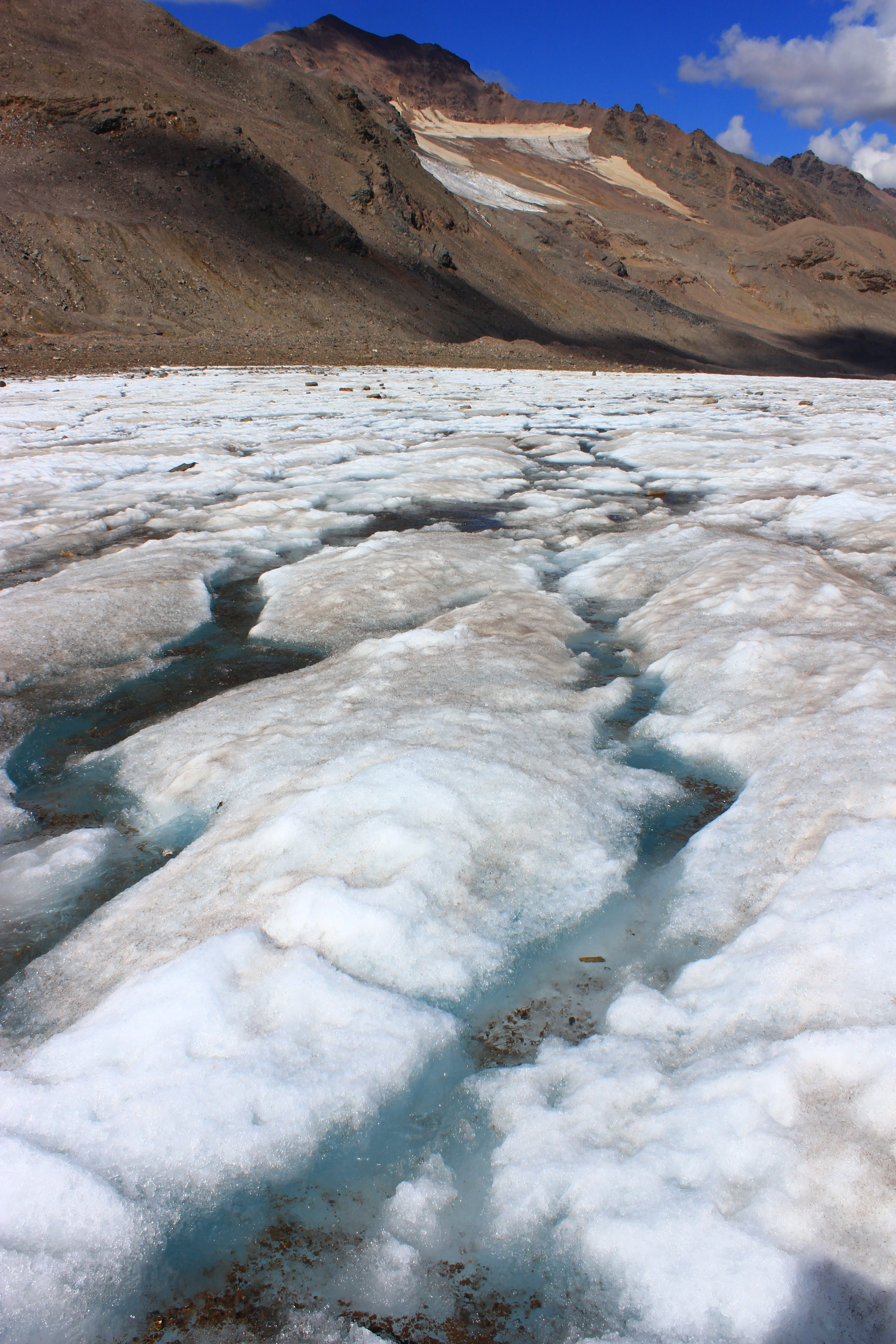
Scientific Research - Hydrogeochemical Study of Jarvis Glacier Watershed, AK
.....- Publication - Chemical Geology
Scientific Research & Implementation - Rain Garden & Sod Collection Basins
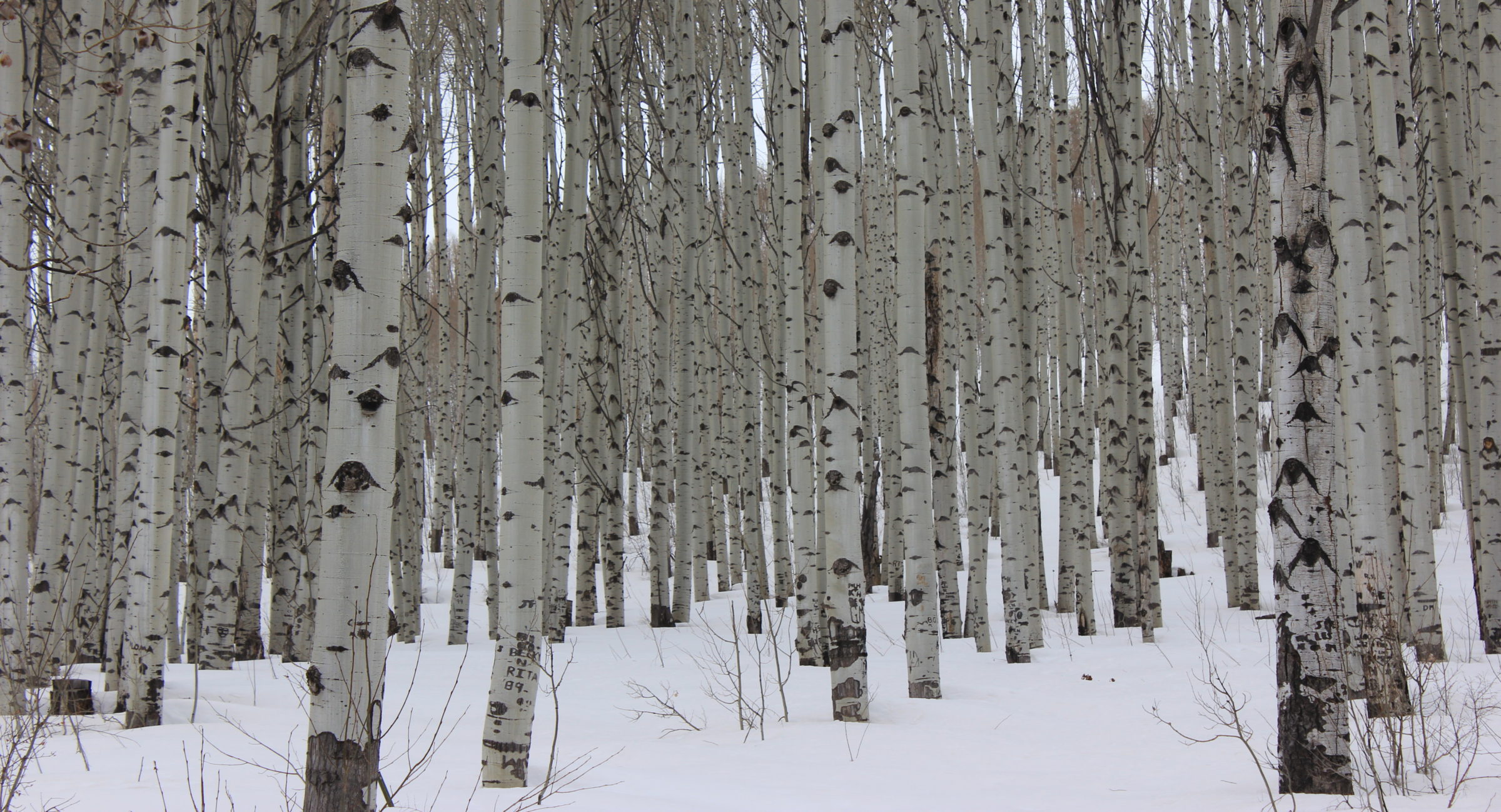
Land Management
Erosion and Stormwater Control
Independently inspected municipal and county construction sites to determine compliance with erosion control and storm water permits. Read and reviewed erosion control plans and issued permits per county, state and federal regulations. Communicated with landowners, engineers, construction supervisors and municipal government concerning erosion control plans, compliance issues and environmental issues. Produced conservation planning maps with CPS map in ArcMap for best management practices of agricultural land, use of TR55 model and ArcMap to create a water diversion plan, and assist in designing a water control basin profile for rural and agricultural stormwater facilities.
Scientific Research
Hydrogeochemical Study of Jarvis Glacier Watershed, AK
Lead field researcher for watershed hydrologic and glacial mass balance surveys in local and remote locations. Responsible for 1-2 employees, manage, maintain and purchase field equipment. Train undergraduate and Post-Doctoral researchers/employees in field, safety protocols, and techniques to record field data. Organize field logistics and campaigns for two seasons. Travel consisted of SUV/trailer, foot, ski, ATV and helicopter. Data collected: stream discharge, end-of-winter snow pack cores, meteorology, surface water, glacier surface water melt, glacier terminus runoff, winter baseflow and groundwater for 3 seasons. Use of Acoustic Doppler Current Profiler (stream discharge), Onset HOBO data loggers and DIVER pressure transducers. Organize, manage, calculate and analyze stream discharge, glacier mass balance and geochemical data using Microsoft Excel, Igor and MatLab.
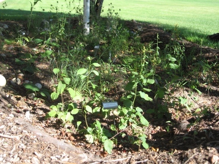
Scientific Research & Implimentation
Rain Garden & Sod Collection Basin
Designed and constructed native vegetation rain garden and sod collection basin on the UWSP campus to compare vegetation effects on surplus water at different depths in soil profile. Data collected and analyzed: soil bulk density, soil field capacity, soil moisture, soil texture, soil moisture. Used WinSLAMM stormwater model, ECH2O Utility moisture probes, and soil pressure extractor.